Tutzinger Hütte–Lenggries
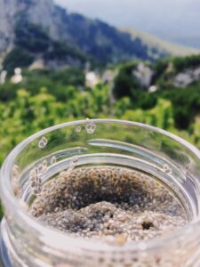
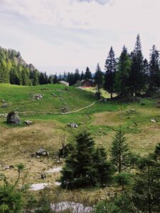
I decided to leave the Tutzinger Hütte without breakfast and instead eat the Chia pudding I had prepared the night before.
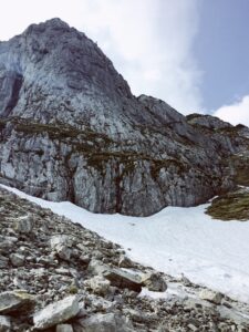

I started going around Benediktenwand to the east and was exhausted and gasping for air right away. To make things worse, there was more and more snow on the way, I had to walk through.

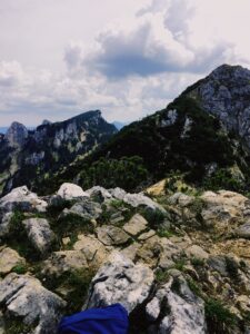
I decided to take the smaller—and more challenging—path over the Achselköpfe anyhow. That’s three peaks in quick succession as high as 1710 m.

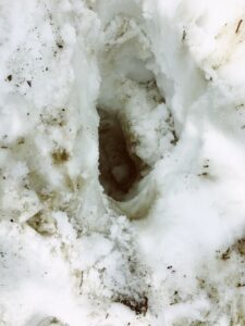
A minor incident occurred while I was walking over a snow field. Although I always stayed in someone else’s steps I suddenly broke through the snow and “fell” roughly 1,5 m, luckily my other leg was not stuck in the hole and I managed to pull myself out.

Leaving the Achselköpfe I made my way to Latschenkopf peak at 1712 m. Pretty much next to it is the Vorderer Kirchstein (1670 m) which I quickly climbed. It was blustery on both peaks and some gusts were actually so strong they pushed me back a couple of feet, so I did not stay too long.
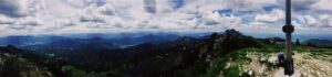

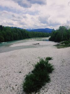
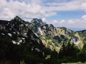
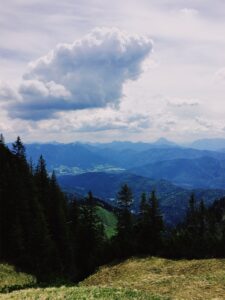
From Guffertspitze to the left – Zugspitze in the middle – and Benediktenwand to the right.
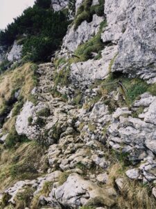
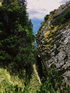
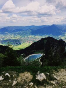
The next and last peak for the day was Brauneck (1554 m) looking over Lenggries. Although I passed over two other peaks (Stangeneck & Schrödelstein) on the way, I didn’t really notice since there were no signs or crosses. After I had some late lunch at Brauneck, I decided against taking a cable care down to Lenggries. Which I should have done because the descent was on rocky mountain roads heading down the downhill skiing slope. There was a lot of slipping and sliding.
In Lenggries I finally made it to a supermarket and got the first fresh vegetables in three days and although it added to the weight of my backpack I bought some carrots, peppers and apples for the coming days.